


Who made those Hollows in the Wood ?
Have you ever wondered about the purpose of those man-made pits in the woods?

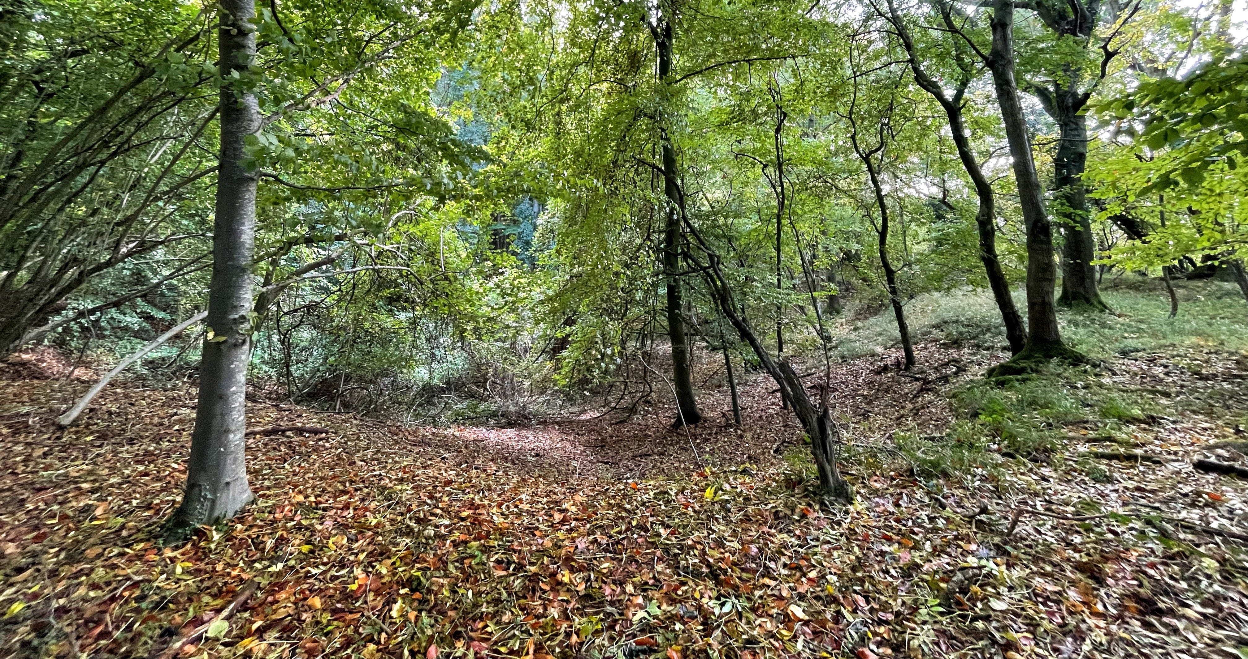
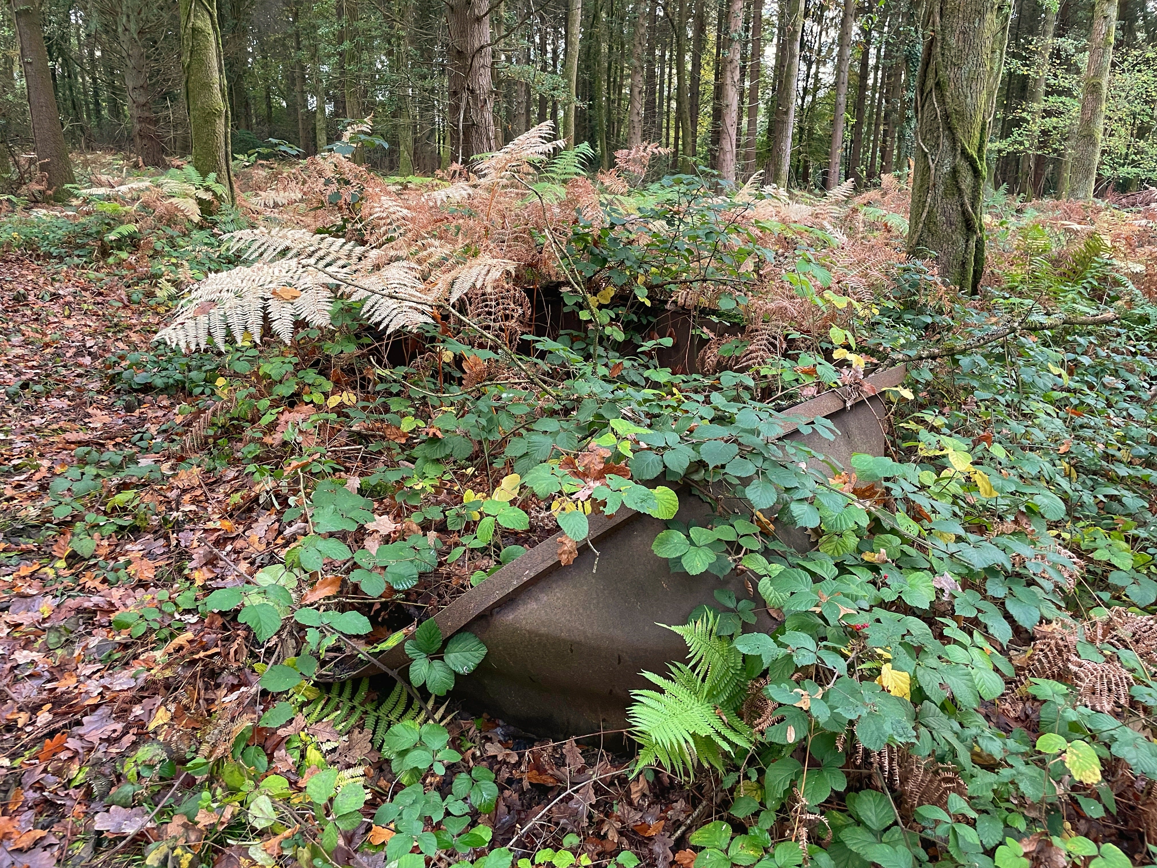
Those mysterious, deep hollows you may come across in Bentley Wood are neither natural nor random. They once had an important purpose and were dug in a pattern.
Such pits are a widespread feature of the chalk subsoil areas that rise north of the River Dun valley. Chalk was used as a building material, as were the flints unearthed as a byproduct. The rubble was also taken, typically to make cow bedding and farm tracks.
Its main purpose, however, was for agricultural improvement. Liming raises the pH level of soil and can replace the alkalinity removed by crops and rain. Many or most small farms had a chalk pit on their land, and they were spaced to minimise transport distance.
Most of the pits in Bentley Wood are marl pits, dug at regular intervals close to access tracks. To see this, take a look at the LIDAR (Light Detection and Ranging) image below. This clearly shows the terrain in a section between the western perimeter of Bentley Wood on the left and Scout’s Lane, just visible curving across the upper right-hand edge.
(If you are interested in the terrain of other areas, you can find LIDAR images of all of England and Wales here.)
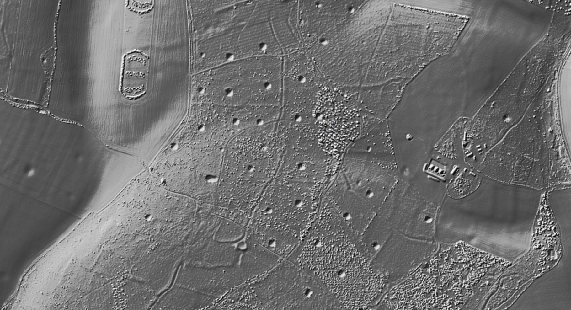
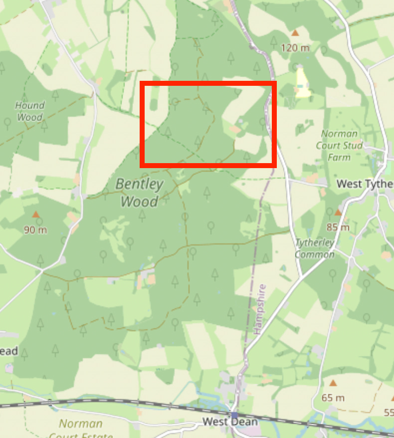
The red box marked on an OpenStreetMap locates the same area of the wood.
In their excellent book A History of Bentley Wood, Margaret Baskerville and David Lambert write: ‘We do not know why there is such a large number of chalk pits in Bentley Wood. One reason could be that pits in woodland did not get filled in again, whereas those in the fields did.’
They go on to say that the pits in the southern part of the wood, dug into clay, could perhaps have been used for extracting other minerals. Or they may have been dug to make bricks and tiles.
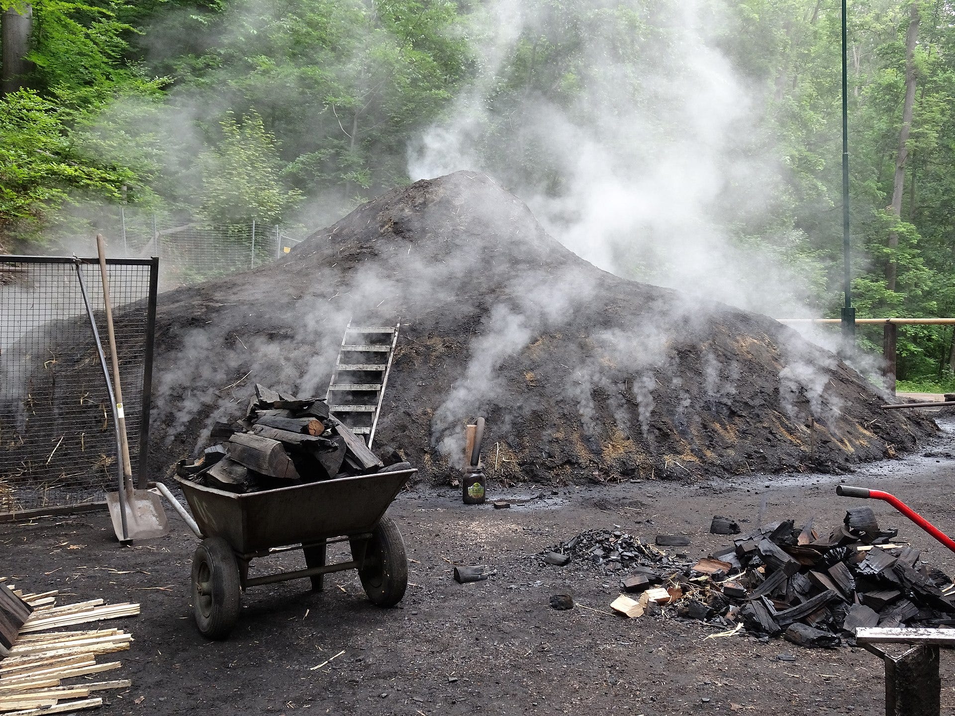
Yet others were created for making charcoal. The production of charcoal dates back to the 16th Century and is still reflected today in the name Coalpits Copse and, arguably, Smokeways.
As a fuel, charcoal produces an intense, smokeless heat and it was greatly in demand for all kinds of processes, from smelting iron to glass blowing and brass making.
There are also at least two bomb craters, made when German bombers dropped land mines during World War II. The bombs were later made safe by an army bomb disposal squad.
The crater on Cook’s Common in Hawksgrove Copse was enlarged sometime in the 1950s or 1960s and filled with water. It is still known today as ‘Bomb Crater Pond’, and it is a very important habitat for all kinds of species.